The Advanced Aerial Innovation Region propels solutions focused on addressing
accessibility, safety, tech equity and regulatory challenges by enabling testing of diverse
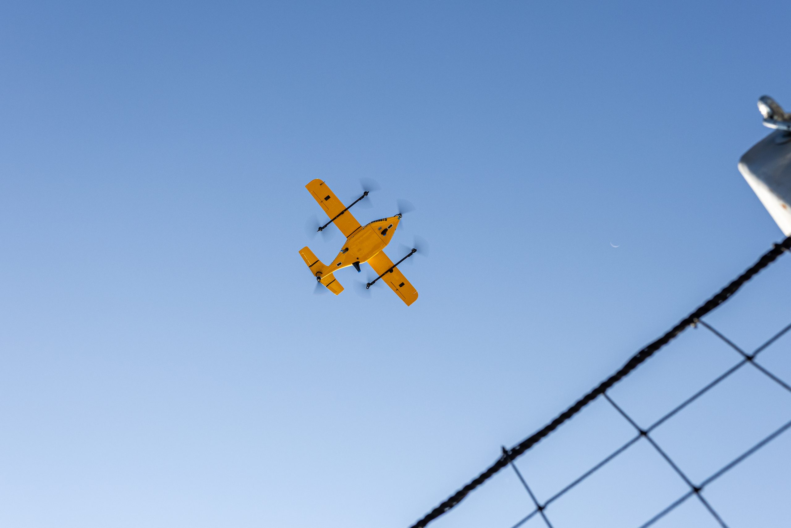
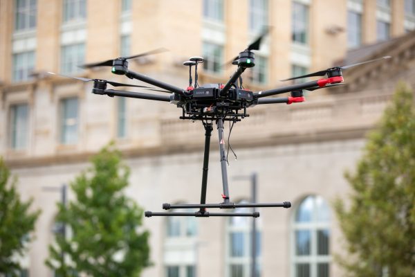
potential commercial drone uses – ranging from delivery of medical supplies, consumer
goods and manufacturing materials to infrastructure inspection and drone as a first-responder.
Michigan Central provides foundational infrastructure, community engagement and skills
training. Participating drone operators have access to concept and operational support from
our partners at Airspace Link and Newlab. Flight data from all pilots support the initiative’s
overarching goal to drive drone operations beyond visual line of sight (BVLOS). By gaining
BVLOS approval, Advanced Aerial Innovation Region participants can accelerate
commercial drone development at real-world scale and unlock immense value.
If you are a drone operator or innovator who shares our vision, connect with us
here.
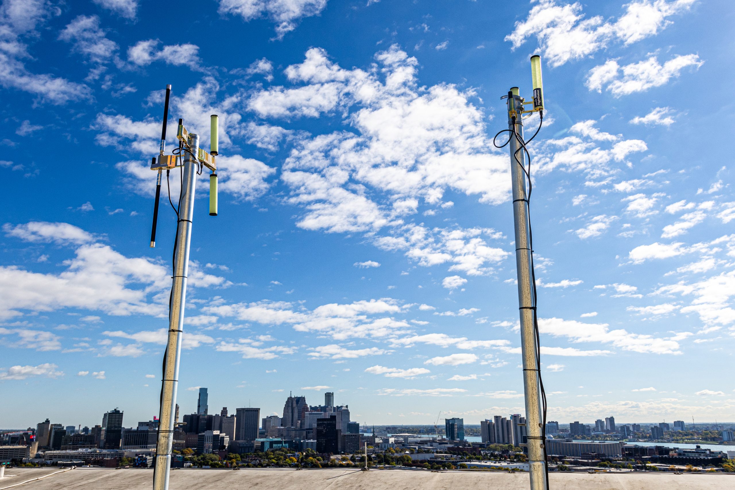 AAIR UTM Systems
 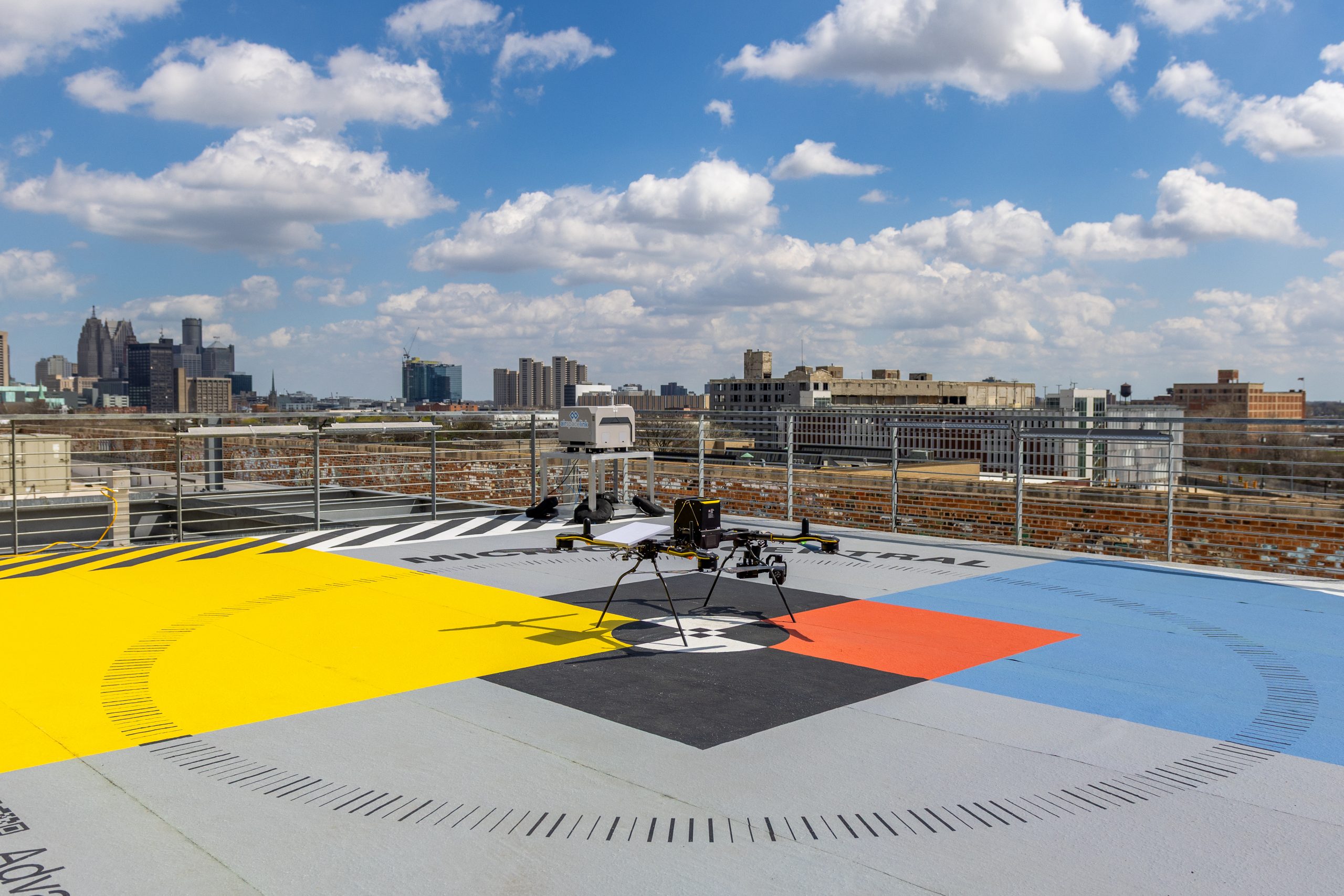 The Launchpad
 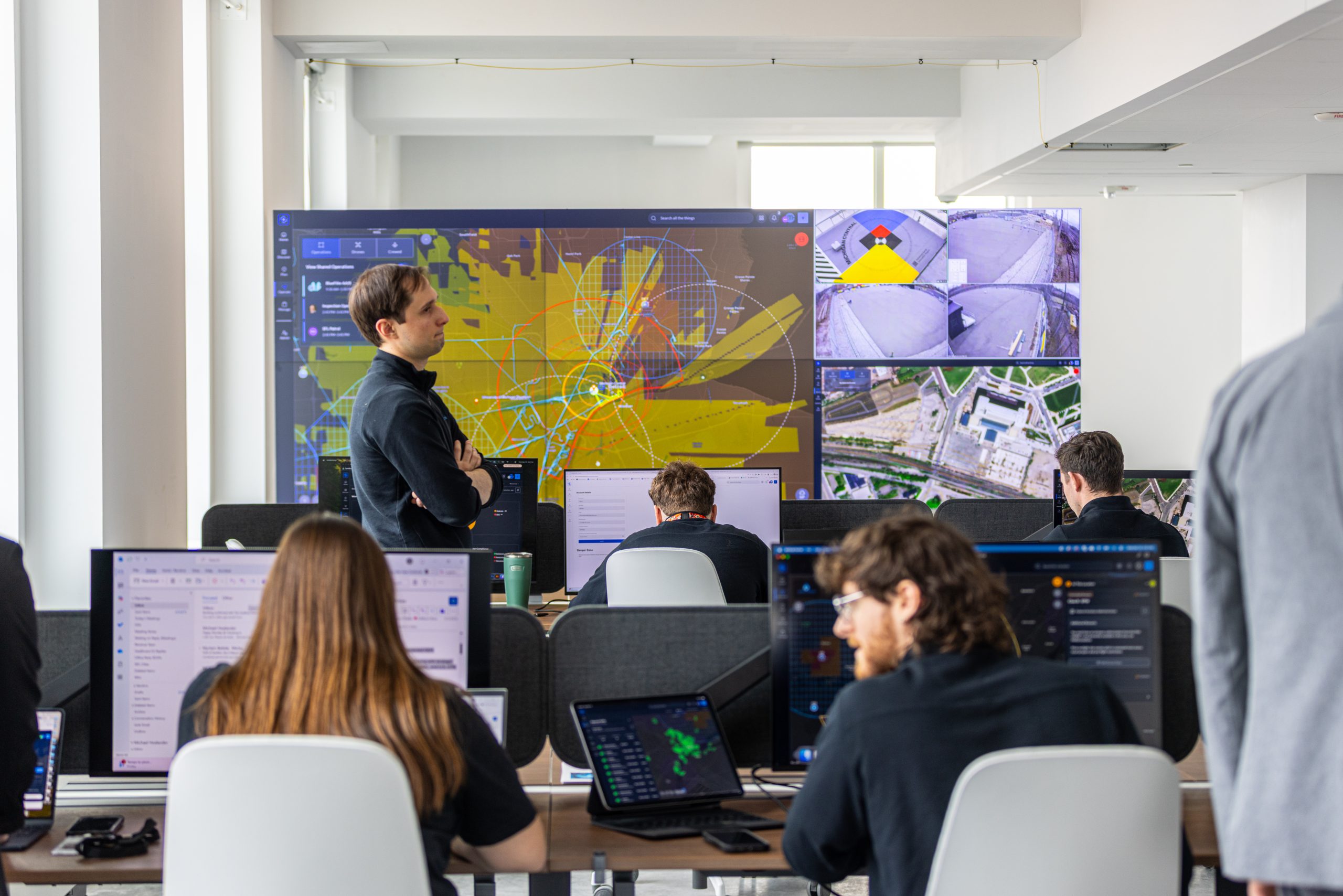 AAIR Operation Center
 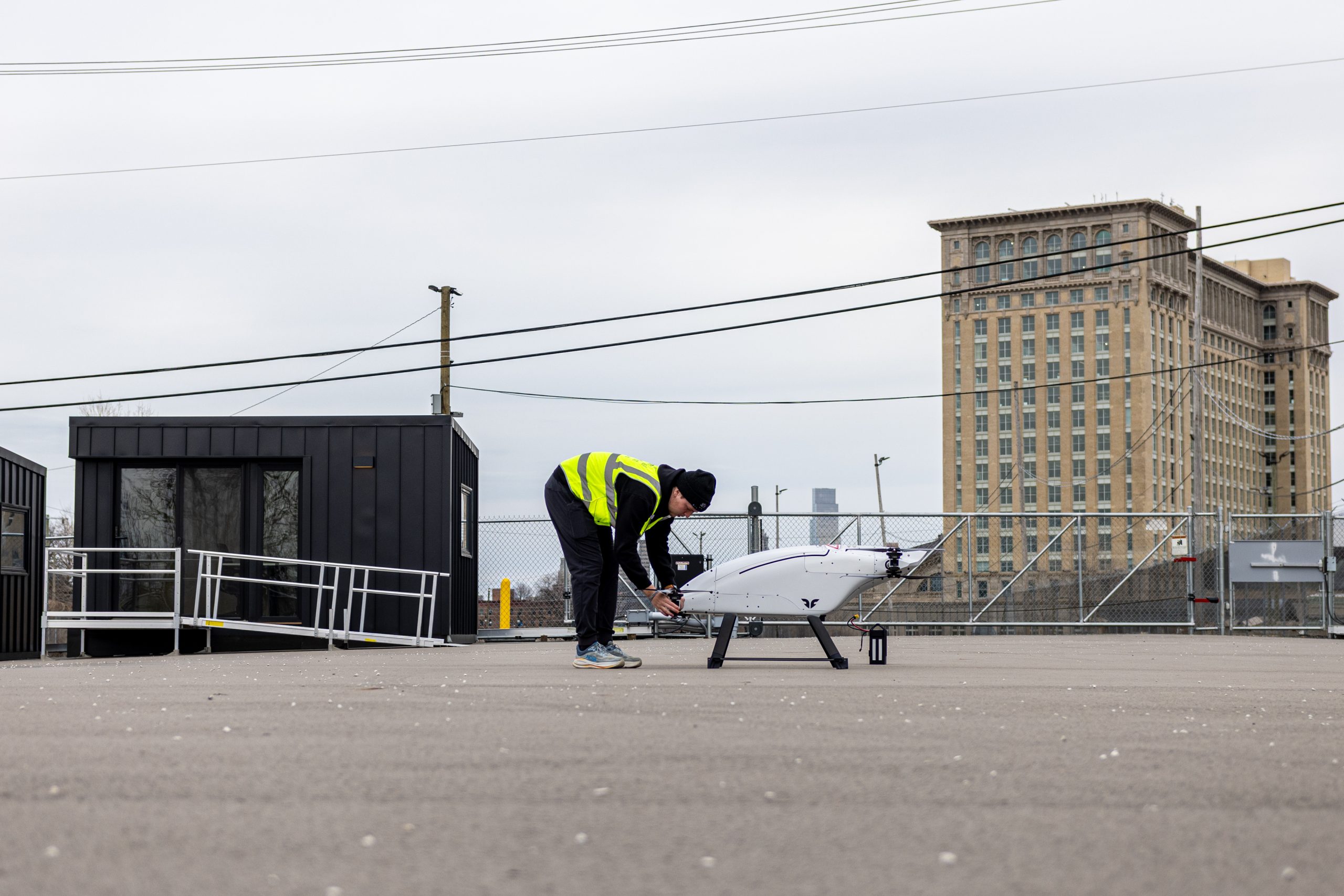 Scaled Launch Facility